You may view these photos as a slide show or an indexed list. There is also a trip map (BIG, 240K).
In a typical year, I am forced to hang up my backcountry camping equipment after Labor Day. The demands of family, work, and other responsibilities, usually make it impossible for me to do any more camping until the following spring or summer. In the fall of 1998, Chuck Gard, an old friend, asked me to join him on an overnight trip to the southern Sierra. He was planning to meet his son, Brian, in the backcountry, and resupply him with five days of food on his north-south journey on the Pacific Crest Trail (PCT).
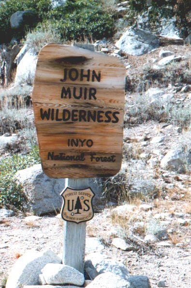
Leaving home in Sacramento on Thursday, October 22, we drove over Tioga Pass. There a light freezing rain, with a little snow at the summit, and we wondered how long the pass would remain open. That night, we stayed at a motel in Bishop, waking at 4:00 a.m. to drive down to Independence and the trailhead at Onion Valley. Our actual hike began at about 6:45 a.m.
The hike was very pleasant. The temperature at Onion Valley was about 30 degrees F. We gained the 3000 feet and five miles to Kearsarge Pass in about three hours. The skies were sunny, and there were no mosquitos. There were a number of bear incident reports from the previous summer, but we saw no signs, except for some tracks in frozen mud, at Onion Valley. The views were splendid, at every turn. The peaks along the Sierra Crest and the other ranges are pretty awe inspiring.
We met Brian at the Bullfrog Lake trail junction on the PCT, right on schedule. It was quite an honor for me to meet someone undertaking such a project. We stayed with him for about an hour and a half.
I left Brian a few minutes before Chuck, to head back up the trail toward Kearsarge Pass. I made a campsite off the trail, on the ridge above Bullfrog Lake. When Chuck caught up, we pitched his tent, ate a quick dinner, and sacked out by 6:00. The temperature dropped pretty quickly. At dawn, it was about 20 degrees.
This dawn looked a bit ominous. There was a red sky, with high, icy clouds and a strong wind from the south and west. As it got lighter, we saw a wall of clouds moving in from the west.
We ate our breakfast and hit the trail. A strong wind pushed us to the east, with powerful gusts at Kearsarge Pass and down the east slope trail. At Chuck's insistence, I used his cell phone to call my wife, from the pass. We all thought that was pretty nifty. Chuck and I reached the car at about 12:30 p.m.
With the prospect of severe weather, our thoughts were with Brian. The following week, we learned that he made it safely over Forester Pass, but had to skip an ascent of Mt. Whitney. Brian reached the Mexican border and the end of his PCT hike on December 3, 1998.
On our drive back to Sacramento, on October 24, we were unable to cross Tioga Pass. Instead, we drove up US 395 to Minden and took Nevada Route 207, to South Lake Tahoe and US 50. The drive over Echo Summit was easy, in a light rain and with new-fallen snow all around.
Photo Notes: My camera on this trip was a Samsung 38-125 automatic 35 mm model. It does a fairly good job and is easy to use, but the optics are not quite as nice as my old Canon 35mm SLR. I was impressed at how well the Samsung handled the low temperatures; other automatics I've seen haven't functioned in those conditions. I hope you enjoy the pictures! You may view them as a slide show or an indexed list.
Acknowledgement: This website is dedicated to Ken Barton, who frequently told me, "mountains are to be looked at, not from." That was Ken's point of view. I didn't necessarily agree with it. Memorial services for Ken were held on October 24.
Best Regards,
Frank R. Farmer
ffarmer
Copyright © 1998-2020 Frank R. Farmer - All Rights Reserved