 |
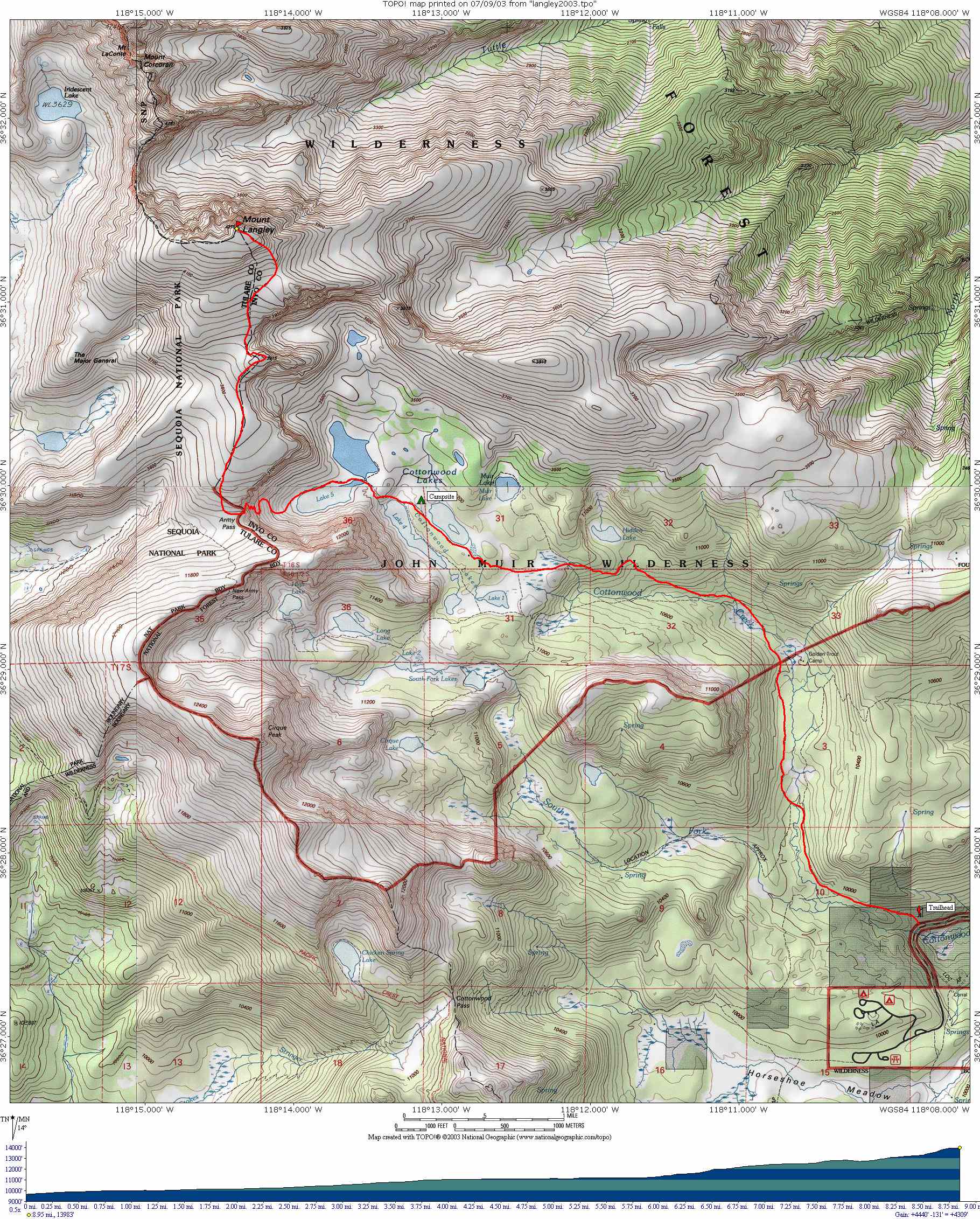
| This map and profile shows a backpacking trip to Cottonwood Lake #4, with summit attempt of Mount Langley. The route starts at the Cottonwood Lakes Trailhead, south of Mount Whitney. My actual route to Cottonwood Lakes varied a bit from what is shown on this map, but it is fairly accurate. I learned that you can't always depend on old trail routes in the TOPO! map images. |
| Cottonwood-Langley 2003 Trip Report and Photos |