 |
|
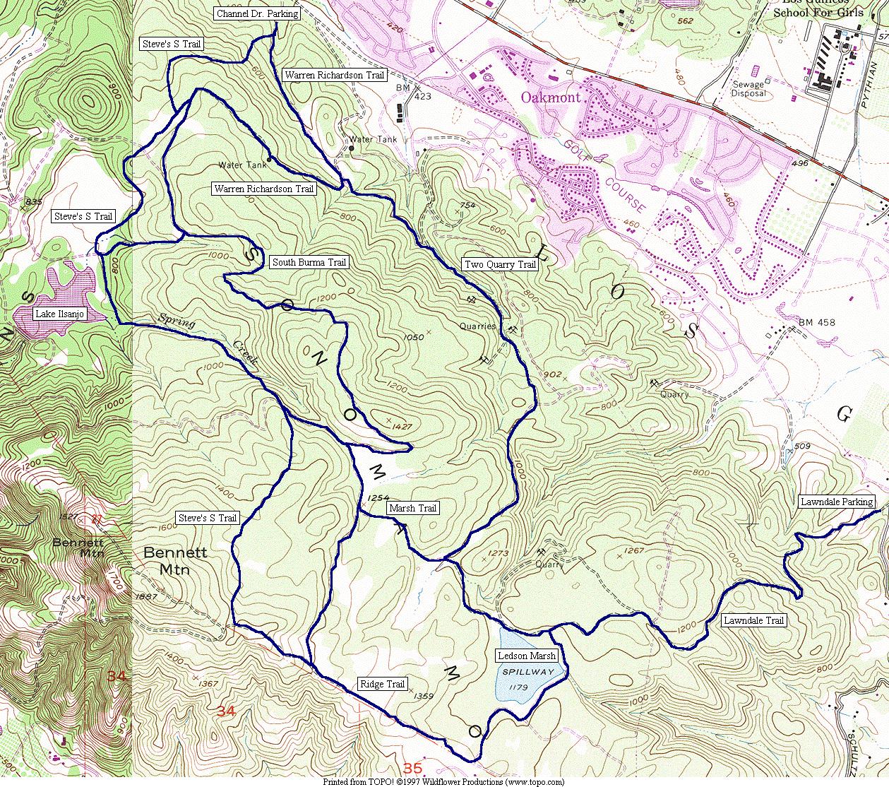
This map shows Annadel State Park, on the southern outskirts of Santa Rosa, California. It has been a favorite hiking location of mine since 1972. I particularly enjoy a loop consisting of Steve's S Trail, Ledson Marsh, and the Two Quarry Trail, which is a bit rough. There are many different microclimates within the park. The summit of Bennett Mountain is at the park's southwest corner. The park is open to horses and mountain bikes, but I think people tend to get along pretty well, with their different modes of transport.
The terrain is shown fairly well on this map, but the trail system is more complex. In fact, you can put in over 35 miles without backtracking. If you go there, get a park map from a ranger. Tell me how you like it!